
Billerica Neighbors and Block Sources
There is no official public roster for a Billerica block. The useful sources instead answer narrow questions. Maps show adjoining parcels and street frontage. Assessment information can show the owner displayed for a parcel in a particular tax year. The Registry can confirm a recorded conveyance or a plan. Local voter material is governed by a different access route, and library collections describe earlier households rather than a current block. Read together, these sources can help frame a neighborhood question while leaving private household details out.
| Source | What It Shows About a Block | Access |
|---|---|---|
| Billerica map and GIS links | Parcel positions, lot labels, roads, and adjoining frontage | Municipal links and map viewer |
| Patriot Properties | Public assessment display for an individual parcel | Online assessment search |
| Middlesex North Registry | Recorded deeds, plans, and title references | Online, counter, and historical-index routes |
| Massachusetts voter information | Locally requested civic-list information, subject to law and confidentiality rules | Request from the Town Clerk |
| Billerica Public Library | Historical street lists, maps, directories, and town documents | Local History Room and collections |
A listed owner may be a trust, estate, business, or person whose mailing address is elsewhere. An occupant may be a family member, boarder, or another lawful resident not shown in the assessment record. A mailing address is simply where correspondence is sent. Keeping those three fields apart is the central safeguard when researching Billerica neighbors.
Read the Billerica Parcel Layer
Start with the town's existing maps index, the Mapsonline viewer, or an official assessor-map PDF. The map is for orientation: it can show a street, a map-lot label, nearby roads, water, wetlands, and utility corridors. The Assessors Office links its public search through Patriot Properties, so the map-lot is a useful bridge from a location to a public assessment record. The office is at Town Hall, 365 Boston Road, Room 103, and the published telephone number is 978-671-0971.
Billerica Online illustrates a municipal online record interface associated with address-based work.
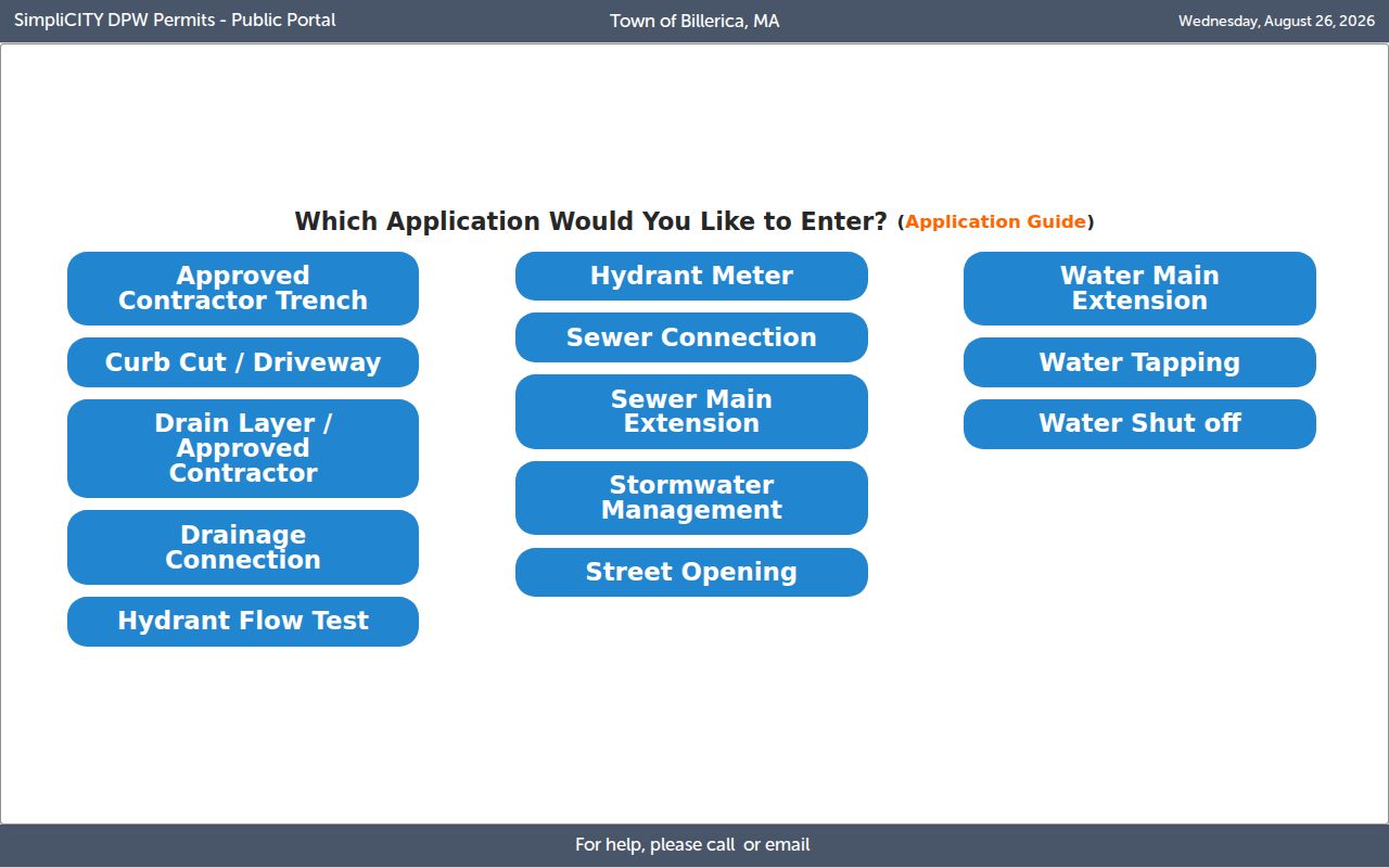
Use an address interface as a starting point for the parcel and record trail, then check the live municipal source for current availability and fields.
An assessor map is not a survey and does not establish a legal boundary for a conveyance. The research also found that a former GIS-policy link now returns an error, so the current viewer's displayed lines should be treated as a graphic tax-map representation. A recorded plan or deed supplies the legal description when a boundary, lot split, or roadway question matters.
Note: Record the map date and parcel label before comparing information from another Billerica source, because displays and assessment years can change.
Billerica Neighbor Fields Differ
For Billerica neighbors, an ownership field is not an occupancy field. The assessment display may identify the owner shown for a tax year, while the deed records a grantor and grantee transaction. Neither one is a reliable statement about everyone living at a property. A postal mailing address can belong to an owner who lives away from the parcel. It may also lead to a business, trust, or estate address. Do not turn any of these entries into a claim about who is inside a home.
- Parcel or map-lot
- The assessor's identifier for a property on a tax map.
- Situs address
- The physical location of the parcel, which can differ from a mailing address.
- Grantor and grantee
- The party transferring property and the party receiving it in a recorded instrument.
- Recorded plan
- A filed plan that supplies subdivision or roadway context; it is not itself a deed.
The difference matters on a block with a corner lot, a multi-address parcel, or a recently divided tract. The subject address, every street frontage, and the municipality's map convention should be written down before a researcher follows adjoining lots. A result that lacks a current date is a lead to verify, not a conclusion about Billerica neighbors.
Map a Billerica Block by Parcel
A short parcel workflow is more reliable than an address-only sweep. It starts at one map-lot and moves outward one adjoining lot at a time. The Registry record, not the map display, is the place to confirm a recorded deed or plan. For a full street-by-street chain rather than an immediate block, use the Billerica street directory.
- Locate the subject address in a Billerica map source and record its current map-lot, street frontage, and map date.
- Inspect the labels on each adjoining parcel, including a parcel across a corner or separated by a road.
- Open the assessment display for each parcel and note only the owner field, assessment year, and mailing distinction that the public record provides.
- Use the Middlesex North Registry search to verify a deed or recorded plan when the owner trail or boundary context needs confirmation.
- Keep unresolved names, parcels, and source dates in a worksheet instead of publishing a private block roster.
This flow recognizes the Registry's limits too. Computerized indexes run from 1966 forward, while older material may require unindexed tools, microfilm, or counter assistance. The Registry's Billerica layout page places its listed local layouts in Plan Book 910. That numerical trail can explain the road or subdivision context around a parcel, but it cannot establish present occupancy.
Billerica Plans Explain the Block
The Billerica County Layout Plans are useful when a present block sits on a road or subdivision with a separate recorded history. Plan Book 910 includes entries such as Allen Road, Andover/Rte. 129, Billerica Avenue, Boston Road, Brick Kiln, High Street, and Lowell Street, with dates and plan numbers. Compare the specific plan image with the deed and assessor map before drawing any conclusion about a lot line or a changed street setting.
The Registry's research guidance also explains why older block work needs a different method. Its physical record sequence moved from handwritten materials through 1924, typewritten records to 1949, microfilm to 1995, and later scans. Address indexing began much later than name indexing. For an older parcel, use a known grantor or grantee and the title reference rather than assuming the modern street address will return a result.
Note: A layout plan supplies road and subdivision context, while a deed records a conveyance and its legal description.
Billerica Community Contacts for Context
Community contacts can help place a block in local history, but they are not resident directories. The library's community-links page lists organizations for informational purposes and says that a listing is not an endorsement. A narrowly framed request can ask about a public exhibit, a published history, a canal feature, a cemetery, or an appointment. It must not be used to seek a private membership roster or personal contact list.
Billerica Historical Society
36 Concord Road or PO Box 381
978-667-7020
info@BillericaHistory.org
Ask about public finding aids, family material, or the Clara Sexton House collection.
Middlesex Canal Association
PO Box 333
978-670-2740
Use the library community link for canal and infrastructure context around nearby streets.
Billerica Public Library
Street lists, maps, directories, yearbooks, newspapers, cemeteries, and town documents are available as research leads.
The library can help select the smallest useful collection, such as a map, annual report, newspaper reel, or yearbook. Cite the collection and page rather than treating a librarian or community group as proof of a person's present connection to the block.
Billerica Neighborhood Names Give Context
Pinehurst, Nutting Lake, Town Center, North Billerica, East Billerica, and West Billerica are town community labels. They can help a reader understand local context, but they are not precise legal parcel boundaries. Postal and facility names have a different purpose as well. Use the assessor map, recorded plan, and a verified address result for the question each source is built to answer.
Billerica's About the Community page provides the town's community and geographic context.
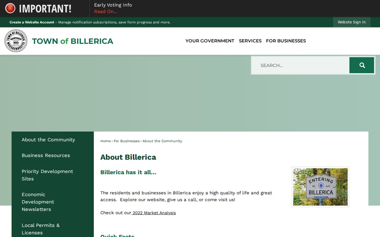
The community description helps place a block within Billerica without recasting a familiar neighborhood name as a formal boundary or a list of households.
The library's historic-preservation and collection links add another layer for an older street. MACRIS, the town's historic-resources inventory, maps, photographs, and annual reports can explain a property or district setting. They should be paired with a deed or plan for title questions and never used to label a home as protected without checking the current source.
Billerica Voter Lists Need a Clerk Request
Massachusetts provides an individual voter-registration status search, but it is not an ordinary public browse of everyone in Billerica. The state status form uses first name, last name, date of birth, ZIP, and an agreement checkbox. A local voter list can contain names, addresses, party, date of birth, active or inactive status, and voter ID information, yet the appropriate route is a request to the Billerica Town Clerk. The statewide list is not public for ordinary individual browsing.
Massachusetts access-to-voter-information guidance explains the distinction between a locally requested list and the statewide list.
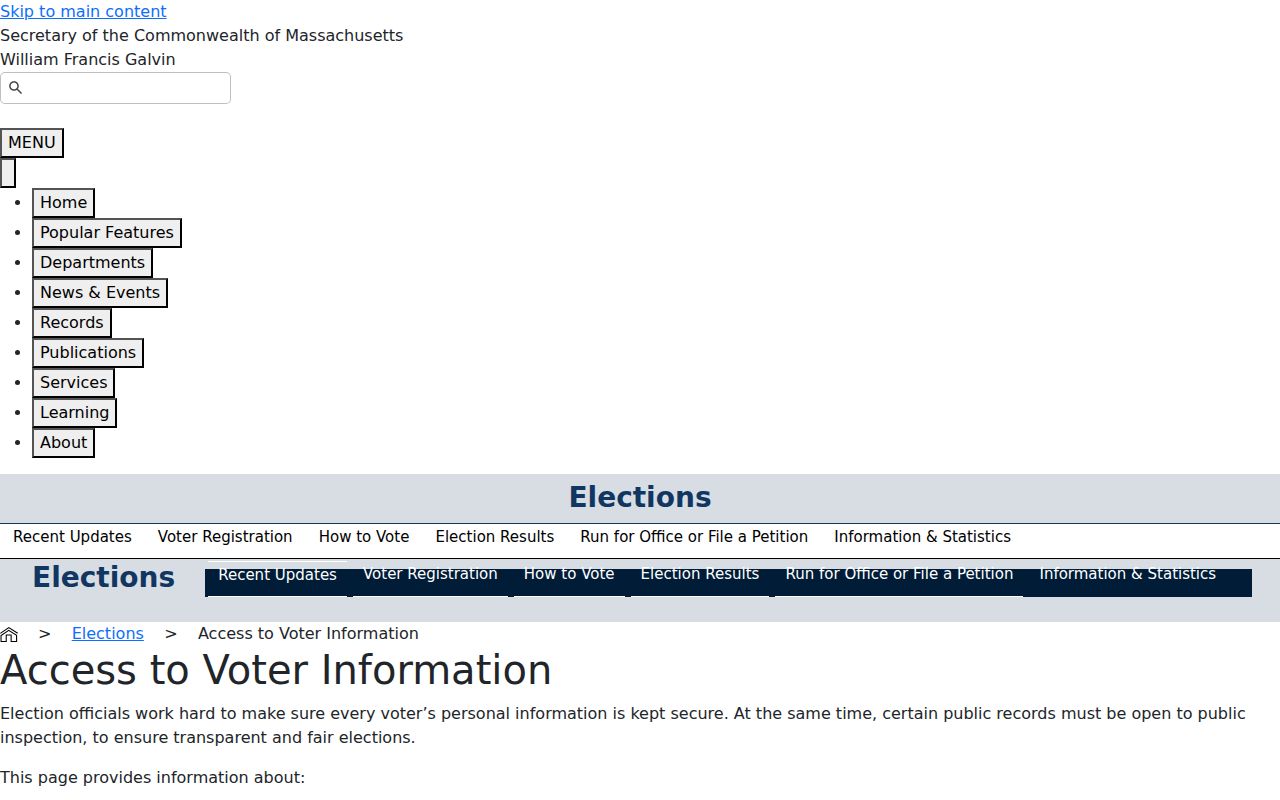
The state guidance supports a dated, purpose-specific request to the Clerk, not a scraped block list or a claim that a registered voter currently occupies a given home.
Ask for a particular historical year when that fits a civic or genealogical question. The research did not locate a current Billerica voter-file request form, production format, or fee, so confirm those details with the Clerk. An inactive status is a snapshot, not a finding that a person has left the community.
Protecting Billerica Neighbors' Privacy
Public availability does not mean every fact is safe to repeat. Massachusetts maintains the Address Confidentiality Program for eligible survivors of domestic violence, sexual assault, and stalking. Participants use a substitute address and mail-forwarding service. A prior disclosure does not authorize anyone to reconstruct or publish the protected location. Confidential voter registration under 950 CMR 49 is also held separately from ordinary voter-file results.
The Massachusetts Address Confidentiality Program describes the protected-address route and its limitations.
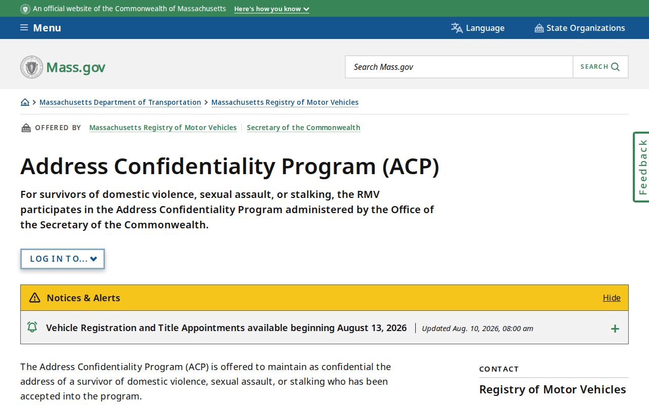
When an address appears inconsistent or protected, stop the block search and ask the record custodian what may lawfully be released or corrected.
Lawful use. Use Billerica block records for family history, civic questions, property context, and other lawful personal research. Do not use them to watch, harass, intimidate, or harm anyone, and do not try to defeat a protected-address or confidential-voter record.
Billerica's Great Deed and Current Deeds
For neighborhood history, the library's virtual collections preserve the Great Deed story, a record of early land grants from Cambridge Proprietors that the research says received Community Preservation funding in 2019. It is a useful way to understand the town's early land memory. It is not a substitute for the current recorded instrument connected to a particular Billerica parcel.
Use the historical story beside the modern record trail: address to map-lot, map-lot to assessment display, owner name to Registry search, then deed or plan citation. A Billerica block can carry a long institutional history without providing grounds to identify private households. That distinction makes the local record more useful and more respectful.