
Walk a Billerica Street Record Trail
The Billerica street directory begins with an address, but the first public document may identify a parcel rather than a resident. Use the municipal assessment record to note the site address, map-lot, assessment year, and displayed owner field. Compare the location on the town map or official assessor map. Next, take the owner name, deed book and page, or plan reference to Middlesex North Registry of Deeds. This sequence separates assessment data, geographic display, and recorded title. It also helps avoid treating an adjoining parcel or a mailing address as proof of who is physically present.
For an older Billerica street, add a dated directory, town report, newspaper, or library street list before searching the Registry. Historic Registry indexes are organized by grantor and grantee names, and address indexing became consistent only much later. Preserve the street spelling as printed, the source year, and each document reference. A successful street-by-street trail can connect records without publishing a roster of people.
- Enter the address in the assessment portal and record the map-lot and tax year.
- Compare the parcel with the GIS viewer or an official assessor map.
- Use the owner name as a grantee search in MassLandRecords.
- Open the deed, plan, or title reference and work backward where needed.
- For older questions, test a directory or library source against the dated land record.
Billerica Street Parcels and Assessments
Billerica’s Assessors Office links the public Patriot Properties portal and maintains municipal assessment information. The portal is useful for a current parcel lead, but the research did not capture its full dynamic list of input labels, filters, or result fields. That is an important limit. Confirm the parcel number, owner display, assessed value, map reference, and assessment year in the live portal rather than assuming the screen has a particular search mode. Assessment information is not a title opinion and does not settle a legal boundary.
The Billerica street directory uses the assessor record as a bridge. A map-lot can orient a searcher on the town grid, while a listed name may become the Registry search key. For current address questions, it is better to record the assessment date and then seek a recorded instrument than to infer a transfer from a stale field. The Assessors Office is at Town Hall, 365 Boston Road, Room 103, and lists 978-671-0971 as its telephone.
The Billerica Patriot Properties assessment portal is the official linked source.
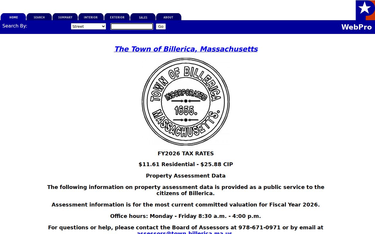
The portal image supports the parcel-first step, while deed and plan verification remain separate work at the Registry.
- Parcel
- A tax-map unit used to organize municipal assessment information.
- Situs address
- The physical address of the site, which may not match a mailing address.
- Plat or plan
- A recorded drawing that can show subdivision or roadway context.
- Criss-cross directory
- An address-arranged historical directory used to place a past household in time.
Map Billerica Streets by Layer
The town’s map sources serve different purposes. The existing maps index links trash zones, estimated habitat, historic areas, historic districts, road base, stormwater, and zoning maps. An official assessor-map example revised January 1, 2026 shows parcel boundaries, block-lot labels, roads, water, wetlands, and utility corridors. It uses a Massachusetts StatePlane reference system and warns that it is not guaranteed or intended for conveyances. These maps are excellent orientation tools when a Billerica street has split lots, water frontage, or a confusing alignment.
The Mapsonline municipal viewer is an interactive public map, but it returned access denial during unattended research. Treat the official static maps index as the confirmed fallback and use the live viewer only to inspect the current display. Never replace a survey, recorded plan, or deed description with a graphic parcel line. A map can point to the next record; the recorded instrument supplies the legal trail.
The Billerica Mapsonline viewer is the public interactive route identified by the town.
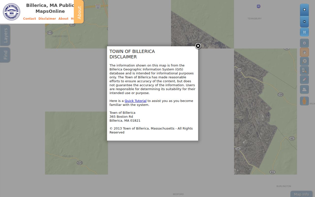
The viewer presentation is useful for locating a parcel in its street context, even though dynamic fields and layers were not verified in the capture.
Note: An assessor or GIS line is a graphic reference, not a substitute for the legal description in a recorded plan or deed.
Billerica Streets in Plan Book 910
Plan Book 910 at Middlesex North offers an unusually local shortcut for road and subdivision history. The Billerica layout list names Allen Road, Andover or Route 129, Billerica Avenue, Boston Road, Brick Kiln, High Street, Lowell Street, and other layouts. Its dated entries include Brick Kiln in 1880, Boston Road in 1893, Billerica Avenue in 1897, High Street in 1911, Andover or Route 129 in 1916, Lowell Street in 1918, and Allen Road in 1972. Those plan references can explain a new subdivision, changed frontage, or an address that appears discontinuous in a later record.
A layout plan is not a deed. It shows roadway or subdivision context, while a deed records a conveyance and legal description. Inspect the plan image before making any boundary or ownership statement. On a Billerica street directory trail, record the plan book, plan number, plan date, and the corresponding deed reference. Those details provide a testable explanation for a street pattern instead of an assumption about an old address.
The Billerica County Layout Plans page is the Registry’s direct guide to this material.
Search Billerica Street Archives
The Billerica Archive Center provides a second street-oriented route after the parcel and deed trail. Its search form includes keyword, archive category, time period, start date, and end date. Enter a street name, an older owner name, and a narrow year range, then inspect the category before requesting a copy. The archive exposes material such as board agendas and minutes, bylaws, town-meeting documents, campaign finance, permits, and related municipal records. The result may describe a public project or property file rather than a household.
The local-history room adds maps, phone books, newspapers, town documents, and street lists that can put an address in a historical setting. Materials remain in the room, and rare items or microfilm use can require an appointment. Building and occupancy permit access is a separate municipal channel. The dynamic online permit endpoint was not inspected, so ask the responsible department for an existing file by address and date rather than assuming searchable categories.
The Billerica Archive Center displays the confirmed keyword and date filters.
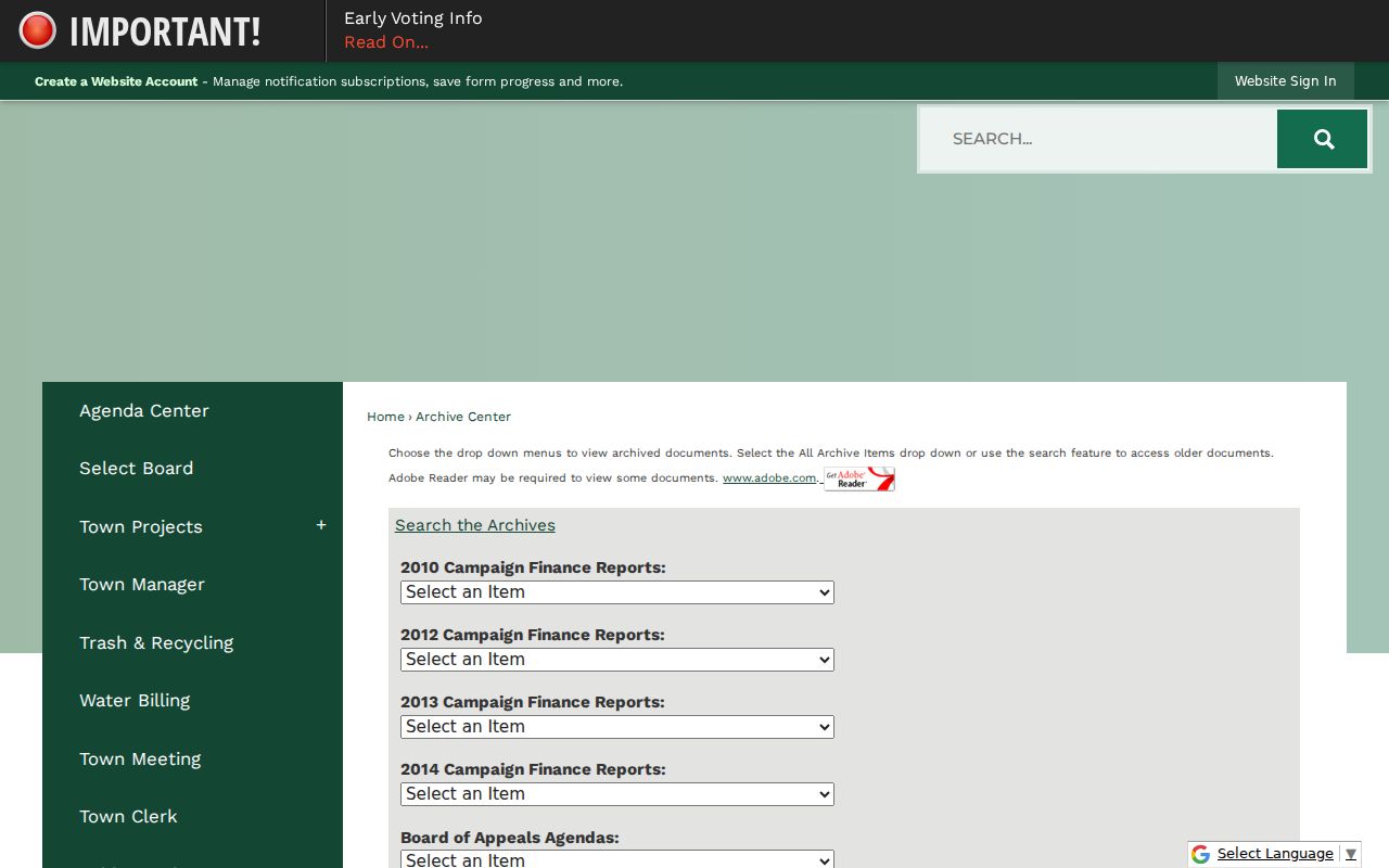
The archive search is a useful source map for a street, especially when a dated municipal record can be matched to a plan or deed.
Old Billerica Streets Need Names
The Registry records begin in 1629, computerized indexes are online from 1966 forward, and scanned images begin around 1995. Earlier books and indexes remain available through unindexed tools, pre-1976 grantor and grantee pathways, microfilm, the public counter, and in-person assistance. Handwritten books run through 1924, typewritten volumes cover roughly 1924 to 1949, and microfilm prints cover about 1949 to 1995. That sequence explains why an address-only query can fail for an old Billerica property.
Begin with an occupant or owner name from a dated source, then search both grantor and grantee directions. The current deed’s title reference normally points to the prior conveyance. When that reference is absent, the seller may be found as a prior grantee. A probate estate can also produce a deed of distribution or executor deed, so a gap in ordinary transfers does not end the record trail. Keep alternate spellings beside every book, page, certificate, or plan reference.
Trace Billerica Street Layout Dates
Street history is easier to test when the map date, plan date, and recorded document date are kept as separate fields. A layout can predate the first deed found for a particular lot. A map can reflect a later assessment presentation. A historic directory may use a town heading, rural description, or street form that does not match a current address. Billerica’s Plan Book 910 list and the library’s maps provide local evidence for testing those changes without claiming a town-wide renumbering event. The research did not identify an official town-wide renumbering, so a changed-looking address needs a source-specific explanation.
For a repeatable Billerica street directory worksheet, record the current printed street name, an alternate historic name if a source provides one, house number, USPS result, neighborhood label, map-lot, map source date, adjoining map-lots, deed or plan citation, and directory or yearbook citation. Corner parcels may have more than one frontage. Lots divided by a road should be checked against the recorded plan and legal description before a record is tied to one side.
Billerica Records Searchable by Street
A Billerica street directory is strongest when each record type stays in its own lane. Assessment data ties a current address to a tax-map unit. A GIS or assessor map shows orientation and adjoining lots. The Registry records a title instrument or plan. The Town Clerk administers voter and annual-census functions subject to state law and confidentiality rules. The library’s historical material can show a dated household or institution. Together these sources create a research trail, not a statement that every person associated with a street is present today.
| Address-keyed source | Custodian | What it shows | Access |
|---|---|---|---|
| Assessment information | Billerica Assessors | Parcel, tax year, and owner display | Public portal |
| Tax-map representation | Billerica map sources | Lot labels and street context | Viewer or official map |
| Deed and plan index | Middlesex North Registry | Recorded parties and legal references | Online, counter, microfilm |
| Municipal archive | Town departments | Dated public materials and permits | Archive or custodian request |
| Historical directory material | Billerica Public Library | Past address or institution lead | Room or digital collection |
A map-lot can connect assessment and mapping sources, but it does not collapse them into a deed. A street name can connect the archive and library, but historical forms may use an earlier spelling or no street number. Record the connection and the uncertainty rather than filling a gap with a modern assumption.
Billerica Street Sources Have Boundaries
Adjacent parcel ownership is not proof of adjacent occupancy. A record can show an estate, trust, business, or mailing address. Likewise, a historic directory may list a boarder, office, institution, or former household. The annual street list and voter material have their own access boundaries. An individual voter status result is not a public street-by-street browse, and a municipal voter file is requested from the Town Clerk under the applicable rules. Do not publish a protected address or use one public record to reverse a confidential record.
Massachusetts provides an Address Confidentiality Program for eligible survivors and keeps confidential voter records separate. The Registry, court, police, and municipal channels can also redact or withhold information. A street record can answer a narrow history, estate, civic, or safety question without becoming a catalogue of private people.
Billerica Street History Has Context
Records along a Billerica street can also describe the institutions that shaped it. A school, fire station, church, canal feature, cemetery, rail stop, or public project may appear in maps and directories without being a residence. The Local History Room has photographs, maps, town documents, cemetery catalogs, and newspapers. Historic Preservation links users to MACRIS and historic-home research. These sources help explain a road’s setting while keeping the private-household question separate.
The 2025 annual report also notes online permitting implementation and parcel-layer work. Those are dated municipal updates, not a live directory. Preserve the office name, access date, and document reference when using a Billerica street record. A broken interactive link is a reason to use a counter or records officer, never a reason to invent an unavailable result.